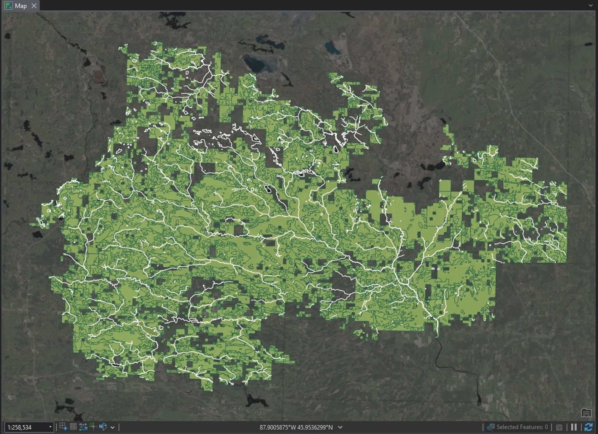
Spatial Analysis
Variety of advanced spatial analysis techniques. If you are looking for a specific example that is not shown, I would be happy to provide one.
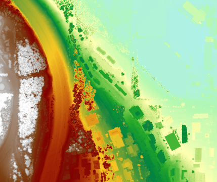

Remote Sensing and LiDAR
Techniques for processing and analyzing raster data including LiDAR and satellite imagery.
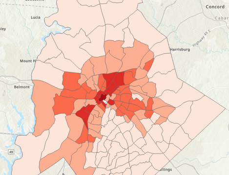

Census Analysis
Spatial analysis for census data including population, crime, demographic, and more.
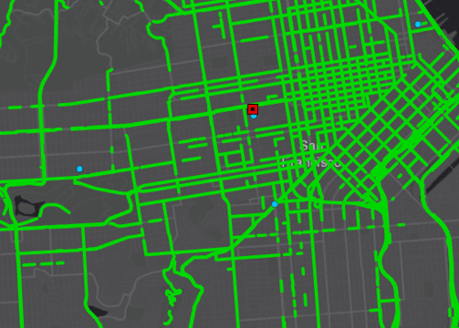

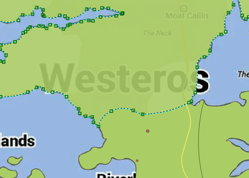

Network Analysis
Various network analysis techniques incorporating various data types.
Data Creation and Manipulation
Skills creating, editing, and manipulating both new and existing data.
Programming and Automation
Experience using Python, Modelbuilder, Notebooks, and SQL for automation, data management, and more.
Python
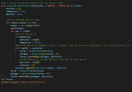
Experience writing scripts/code to solve problems and automate tasks.

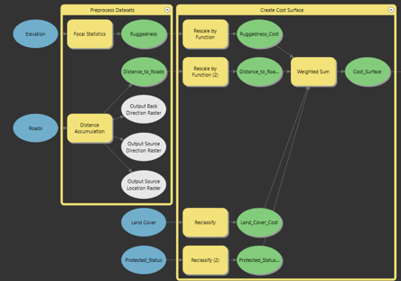
ModelBuilder
Creating visual models to share and organize workflows.

Education
Starting in Environmental Sciences, I fell in love with the world of GIS. I've shifted my main focus to GIS analysis and development.
48+
16+
University GIS Courses
Esri Courses

Contact
krawchyk.viu@outlook.com
+1 519 222 9826
© 2024. All rights reserved.